
Fresh Insights on Drone Data Trends and Smarter Operations: 2026 Industry Outlook for Decision-Makers
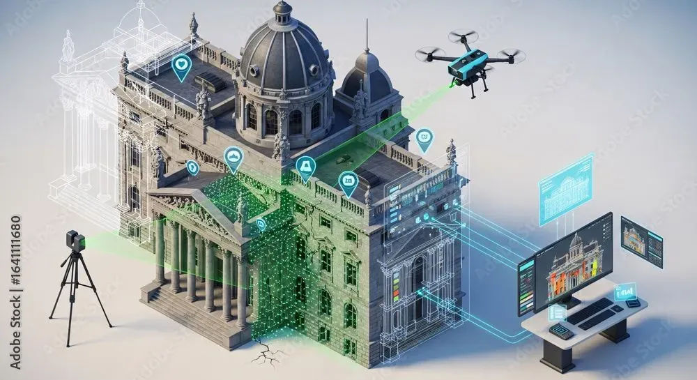
Drones are no longer just gadgets; they’ve become powerful tools. Today's drones do more than fly. They collect detailed and accurate data. They build maps and models. They give real-time insights. These tools enable industries to work smart and efficiently, making well-informed decisions.
Farmers use drones to collect data on their farms for crop health analysis and to estimate crop yields. Builders map job sites in minutes. Emergency response crews locate and rescue survivors after disasters with intelligent drones. Drones are changing the way we see and manage the world around us.
This article will show you the latest trends in drone data. You’ll see how various industries utilize it to work more efficiently and effectively. We’ll explain the types of data drones collect. You’ll also learn about the tools that turn this data into useful information. Finally, we’ll show how your business can gain from using drone technology in 2026.
Why Drone Data Matters for Today’s Decision‑Makers
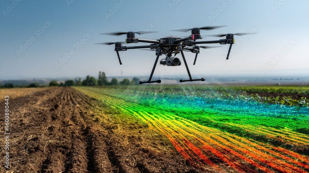
Drones can collect a wide range of data. They can capture RGB, thermal, LiDAR, multispectral, bathymetric, and magnetic detection data, and much more. This information enables decision-makers to make faster and more informed choices. Drones are used to monitor the progress of infrastructure and development works.. They turn what you see into actions that make a real difference.
Evolution of the Drone Industry: Current Landscape
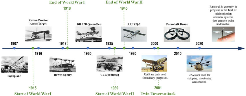
The drone sector has grown from hobbyist devices into a thriving commercial ecosystem. Certified commercial drones are equipped with advanced sensors and autonomous flight capabilities, with seamless system integration. They have become indispensable tools across multiple sectors, including construction, farming, energy, mining, emergency response, and many others.
Industrial vs. Consumer Drones
Industrial-grade drones feature high-quality sensors tailored for specific applications. They can fly for a considerable amount of time. Consumer drones, meanwhile, focus on simplicity, imaging, and portability.
Key applications of industrial drones include construction, agriculture, energy, public safety, mining, and forestry.
Construction: Site mapping, safety inspections, and volume measurements.
Agriculture: Crop health monitoring, irrigation planning, and plant counting.
Energy: Inspections of power lines, substations, and solar panels.
Public Safety: Search and rescue, fire mapping, and disaster recovery.
Mining: Mine surveys and stockpile calculations, mine security, blast monitoring, and bathymetry surveys.
Drone Data Types and How They’re Collected
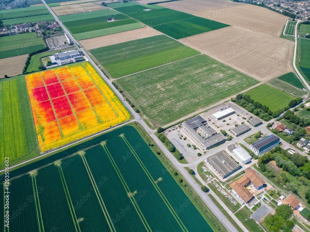
Drones today collect a wide range of data formats depending on the onboard sensor:
Imagery: RGB, Multispectral, and Thermal
RGB: High-definition visual images for maps and models.
Multispectral: Captures vegetation index, crop health status, and analysis, and soil state and moisture levels.
Thermal: Identifies heat loss, structural flaws, objects, and people in low or no-visibility areas.
Lidar: Scans ground points in a dense vegetated field.
Magnetometer sensors: Identify and measure magnetic fields in an area.
Bathymetry sensors: Create models of water bodies and dams to measure their depth.
Gas detection sensors: Identify various gases and leaks in pipelines and gas processing facilities.
Processing and Analytics: Turning Raw Data into Actionable Insight

Capturing data is only the first step. The true value lies in processing and interpreting it. Processing the data collected serves as the hands-on and factual information used to make a decision.
Industry Trends Shaping Drone Data Use

In 2026, key trends are pushing drone technology further:
Autonomous Drones: Repeatable missions with minimal human input streamline site inspections and surveys.
Regulatory Shifts and Airspace Integration: New regulations and laws are allowing flexibility in beyond-visual-line-of-sight (BVLOS) operations and urban airspace access.
Real-Time Streaming and 5G Connectivity: Instant data transmission helps emergency services and field crews make split-second decisions.
Smarter Operations: Best Practices for First‑Time Adopters
Getting started with drones? Here are key strategies:
RPAS Training, Certification, and Licensing: Certification of RPAS operators ensures compliance, safety, and the collection of reliable data.
Data Governance, Security, and Compliance: Implement policies for storing, sharing, and analyzing data responsibly, especially with personally identifiable or sensitive information.
Workflow Integration: Drones should be integrated into your broader digital strategy, leveraging GIS, CRM, and enterprise tools.
ROI and Business Impact: Measuring Value from Drone Initiatives
Efficiency Gains and Cost Savings: Drones minimise the time required for manual inspections and labour-intensive tasks, resulting in cost savings and optimised resource utilisation.
Risk Reduction and Safety Benefits: Minimising human exposure to dangerous environments enhances worker safety while ensuring uninterrupted operations.
Challenges and Mitigation Strategies
Data Overload and Storage Costs: Use automated tools to filter, compress, and prioritise data collection to prevent digital overload.
Privacy, Ethical Use, and Public Perception: Follow local laws, obtain consent where necessary, and be transparent about how drone data is utilised.
Future Forecast: Where Drone Data Is Headed Next
AI-Driven Predictive Models: Detecting forecast equipment failures, yield issues, or infrastructure stress before they occur.
Swarm Drones: Multiple drones working together autonomously to cover vast areas with precision.
IoT and Digital Twin Integration: Combining drone data with real-time sensors and virtual models for proactive planning.
Conclusion: Embracing the Drone-Powered Future

In summary, drones have evolved from innovative tools to essential assets that drive efficiency, safety, and informed decision-making. By understanding the technology, adopting the right solutions, and staying compliant with regulations, organizations and individuals can unlock the full potential of drone operations in 2026 and beyond.
Frequently Asked Questions
What types of data do drones collect? RGB data, Thermal Multispectral data, LiDAR data, Bathymetric data, Magnetic survey data, videos, aircraft and sensor logs, etc.
How do drones provide business value? By reducing operational costs, improving safety, and accelerating decision-making.
Do I need a license to operate drones commercially? Yes, most regions require certification and licensing to operate a drone commercially.