Why Drones Are Better Than Satellites for Detailed Site Work
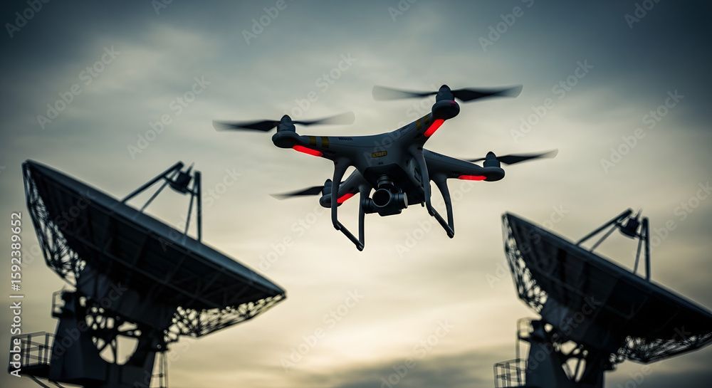
Today, we can see the Earth from high above using two amazing tools: drones and satellites. Both are used to take pictures, measure land, and assist people in planning large projects. However, when it comes to detailed site work, such as mapping, inspecting buildings, or tracking changes on the ground, drones are often the better choice.
In this guide, we’ll explain why drones (also called UAVs) give clearer, closer, and more helpful data than satellites. Whether you’re working in construction, farming, or land development, understanding the difference will help you choose the right tool.
1. Drones Fly Much Closer to the ground

Satellites orbit thousands of kilometres above Earth, which often limits the detail in the images they capture. Drones, however, can fly at low altitudes, sometimes just a few meters above the ground, allowing them to capture high-resolution imagery with exceptional clarity, even detecting small objects or subtle changes in terrain
2. Drones Provide Real-Time Data
Satellites follow predetermined orbits and may only capture imagery of a specific site every few days or weeks, resulting in delays in updated imagery. In contrast, drones can be deployed on demand, providing same-day, up-to-date information. This makes them ideal for projects that evolve rapidly or require continuous monitoring.
3. Drones See More Details in One Flight
Because drones fly low, they can capture more details, such as small changes in terrain or even water damage. Satellites can miss these because their resolution is lower. In short, drones offer more zoom and more detail in every shot.
4. You Control Where and When Drones Fly

satellites move on their own schedule. You can’t control when they pass over your area or how the weather will affect the image. But with a drone, you choose the time, date, and flight path. This gives you full control over your data, allowing you to focus on what truly matters.
5. Drones Work Better in Cloudy Weather

Clouds and bad weather can block satellite images. Drones fly below the clouds, so they can still capture useful data even when the sky isn’t clear. This makes them more reliable in different weather conditions.
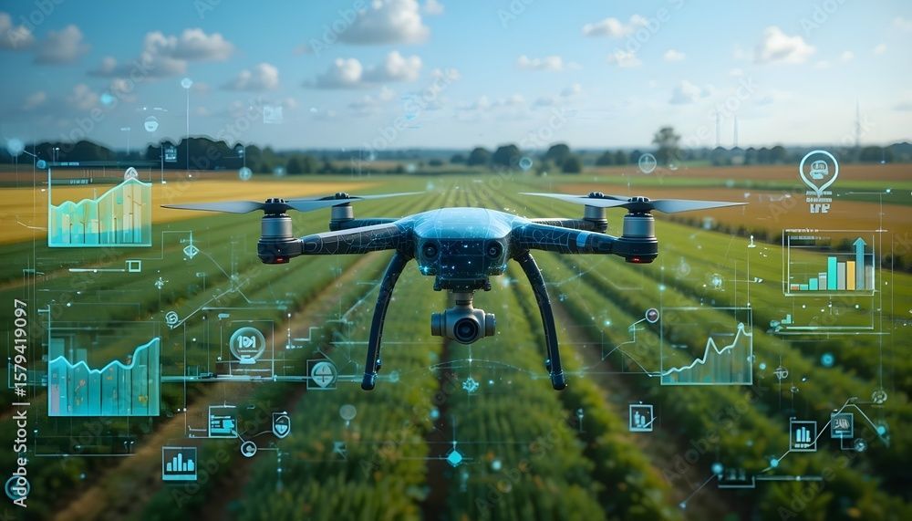
6. Drones Can Carry Different Types of Sensors

Drones are more than just flying cameras. They can carry special sensors like:
Thermal cameras (to detect heat and energy loss)
LiDAR (to scan land shapes in 3D)
Multispectral cameras (to monitor crops and vegetation)
RGB ( High resolution imagery)
Gas detection sensors ( to detect gases and pipe leakages)
These tools make drones even more powerful for site analysis than standard satellites.
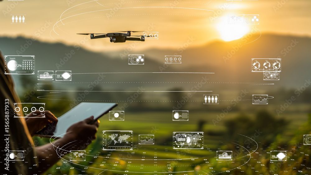
7. Drones Give You Custom Data
[point 7op1], [point 7op2], [point7op3]
Satellites provide general images, but drones offer customised reports tailored to your specific needs. You can zoom in on problem areas, take measurements, and even create 3D models of your site. This is super helpful for planning, inspections, and tracking progress.
8. Drones Cost Less for Small Projects
Using satellite data often means buying expensive images or subscribing to a service. Drones may have some setup costs, but for many small-to-medium projects, they are cheaper overall and provide more value.
Real-Life Example: Construction Project Monitoring
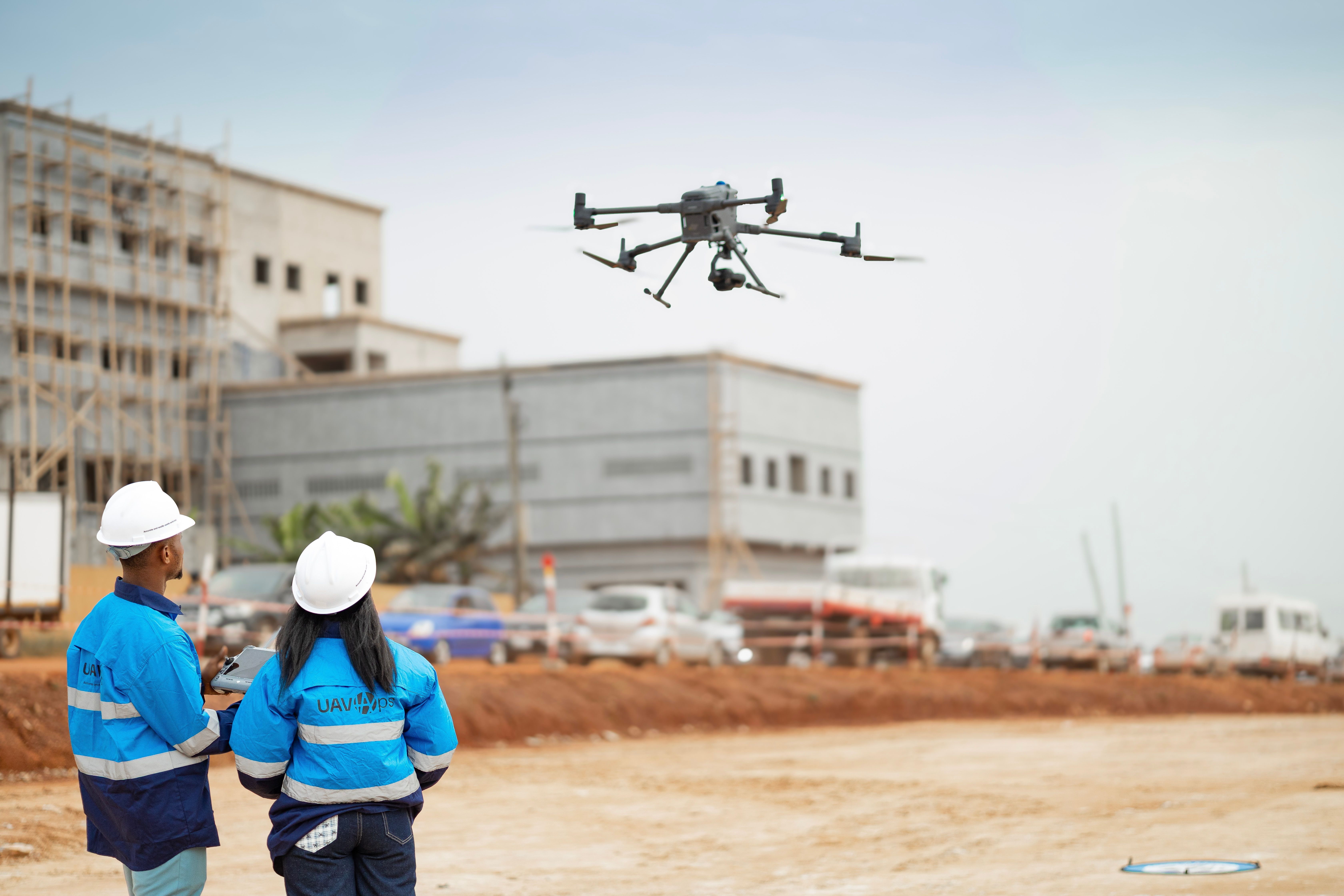
Imagine a team building a shopping mall. They need daily updates on their progress. Waiting for satellite images would cause delays and leave out important details. By flying a drone every day, they get clear, up-close images and accurate maps to track work and catch mistakes early.
Drones vs. Satellites

Conclusion: Drones Win for Detailed Site Work

When you need clear, up-close data, drones don’t just do the job; they do it better, faster, and smarter than satellites. Their sharp images, real-time updates, and hands-on control give you everything you need to make confident decisions on the ground.
Whether you're building, farming, inspecting, or planning, the right tools make all the difference, and drones are leading the way.
So the next time precision matters, don’t look to the sky. Launch a drone, take control, and bring the future of site work down to Earth.