From detailed terrain modelling to environmental monitoring, our UAV services deliver the actionable data you need—faster, safer, and smarter.
complete services for aerial data needs
Customization isn’t just a feature—it’s what ensures the data you receive is actually usable and impactful. By aligning our tech and methods with your workflow, UAVOps helps you move faster, spend smarter, and make confident decisions backed by relevant data.

Harness the power of advanced UAV technology and high-precision aerial data to deliver smarter, faster, and more reliable survey solutions. Our expertise supports LiDAR surveys, magnetic surveys, bathymetric surveys, infrastructure design, spatial and engineering surveys, helping clients make informed decisions from project planning through design, monitoring, and compliance.
Monitor project progress, conduct structural assessments, and inspect infrastructure with drone-enabled visual and metric data at every stage of development.
Monitor environmental conditions, assess climate-related risks, and track land and ecosystem changes with drone-enabled aerial data designed for planning, conservation, and sustainable decision-making.
Enhance disaster readiness and response through real-time aerial data that supports search and rescue, damage assessment, and resource allocation.
Support smarter city planning and infrastructure design through aerial data that powers mobility analysis, zoning, and urban infrastructure mapping.
Partner with us on cutting-edge UAV projects to develop and validate new applications in aerial data, sensing technologies, and intelligent systems.
Improve agricultural planning and field performance with drone-powered crop monitoring, health assessment, and data-driven farm intelligence designed to support productivity, sustainability, and operational efficiency.
Track industrial operations, monitor asset performance, and identify risks early with aerial intelligence designed to improve efficiency, safety, and operational decision-making.
We develop tailored UAV workflows and integrations to meet your organization’s unique operational challenges and technical requirements.
 Deliverables
High-resolution imagery & videography
2D orthomosaic maps
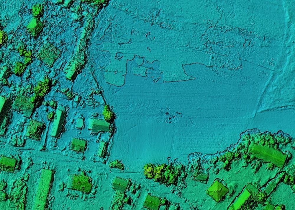
3D terrain models & point clouds
Topographical & boundary surveys
Land-use & zoning maps
Bathymetry survey data including maps, terrain models, and contours.
Magnetic data including raw data, total magnetic intensity map, anomaly map, regional and residual magnetic maps, flightline and coverage map and magnetic profiles.
We help you get started with your project no matter where you are located in Africa.
Fill out our service request form online.
We work closely with you to define objectives, identify key data points, and tailor a mission to your goals.
Licensed UAVOps pilots carry out missions safely and efficiently, capturing high-resolution aerial data using drones equipped with optical, thermal or multispectral sensors.
We turn raw aerial data into accurate maps, models, and insights into formats that are clear, reliable, and ready for decision-making.
Receive actionable outputs that support planning, monitoring, and operations, so you can make informed decisions quickly and move projects forward with confidence.