

Make Better Decisions with Reliable Aerial Data
We deliver high-precision aerial intelligence that helps organisations make faster, safer, and more informed business decisions.

Aerial intelligence built for teams that rely on accurate, timely data to operate and plan with confidence
Decisions Are Only as Good as the Data Behind Them
Across industries, critical decisions are still being made with incomplete and outdated data.
Limited Visibility on the Ground

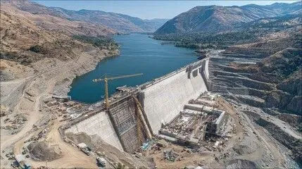
You can’t act on what you can’t see. Large sites, remote locations, and complex environments make it difficult to get a clear, complete picture.
Slow and Costly Data Collection

Traditional methods take time, require heavy resources, and often delay decisions when speed matters most.
Data That Doesn’t Drive Action

Even when data exists, it is often fragmented, outdated, or difficult to interpret, making it hard to turn insights into real decisions.
Everything You Need to See More From Above
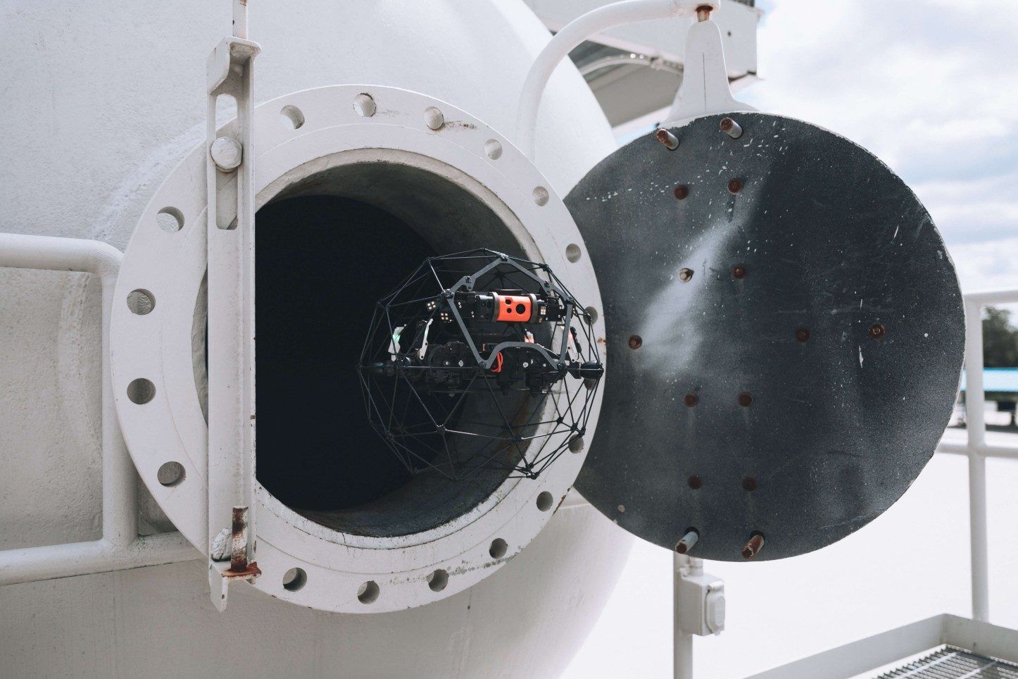
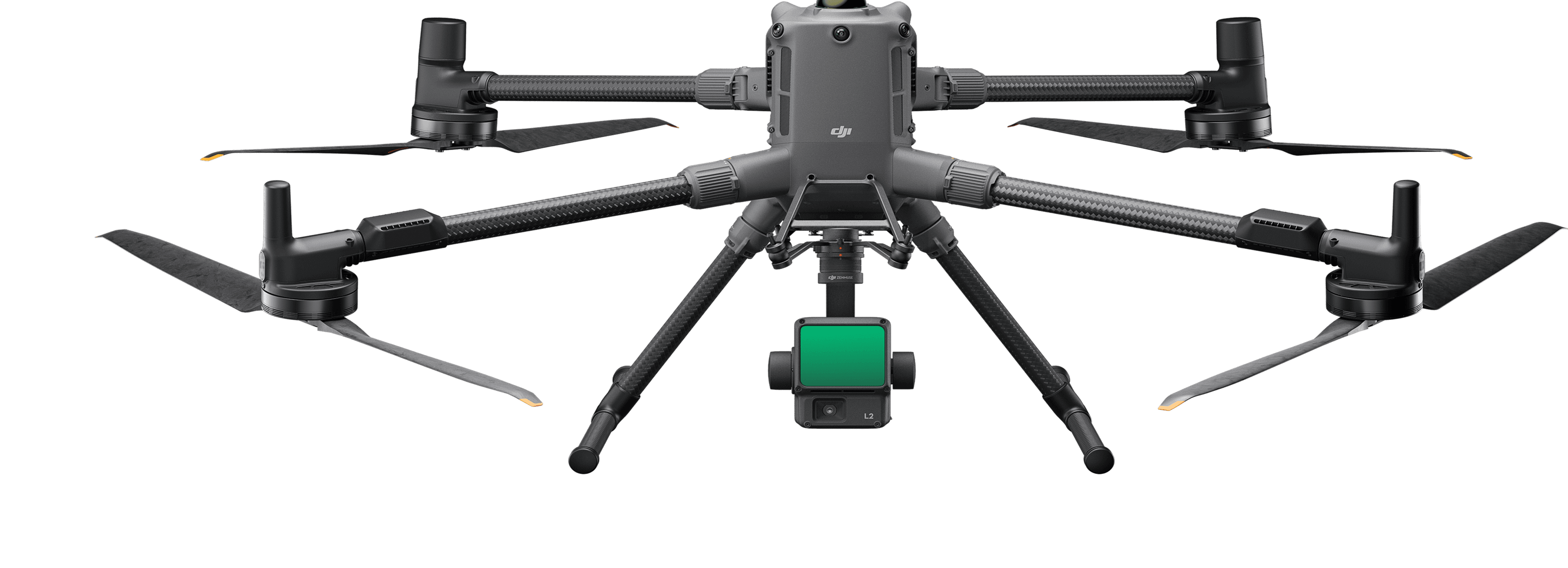
UAVOps delivers aerial mapping, inspections, monitoring, and analytics tailored to the operational needs of modern industries.
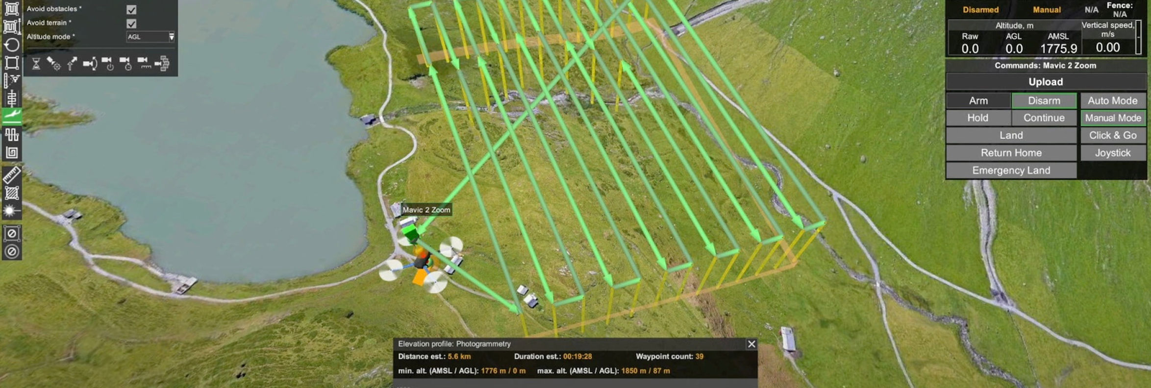
Planning
Flight missions are configured based on terrain data, areas of interest, and collection requirements to ensure optimal coverage and regulatory compliance.

Aerial Survey Insights from the Field
Explore how our aerial data solutions support smarter planning, monitoring, and operations across diverse industries and terrains.
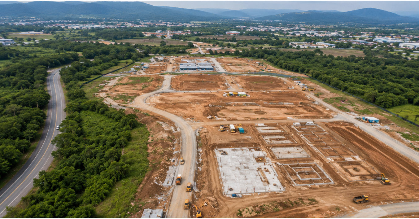
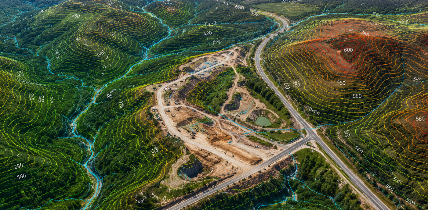
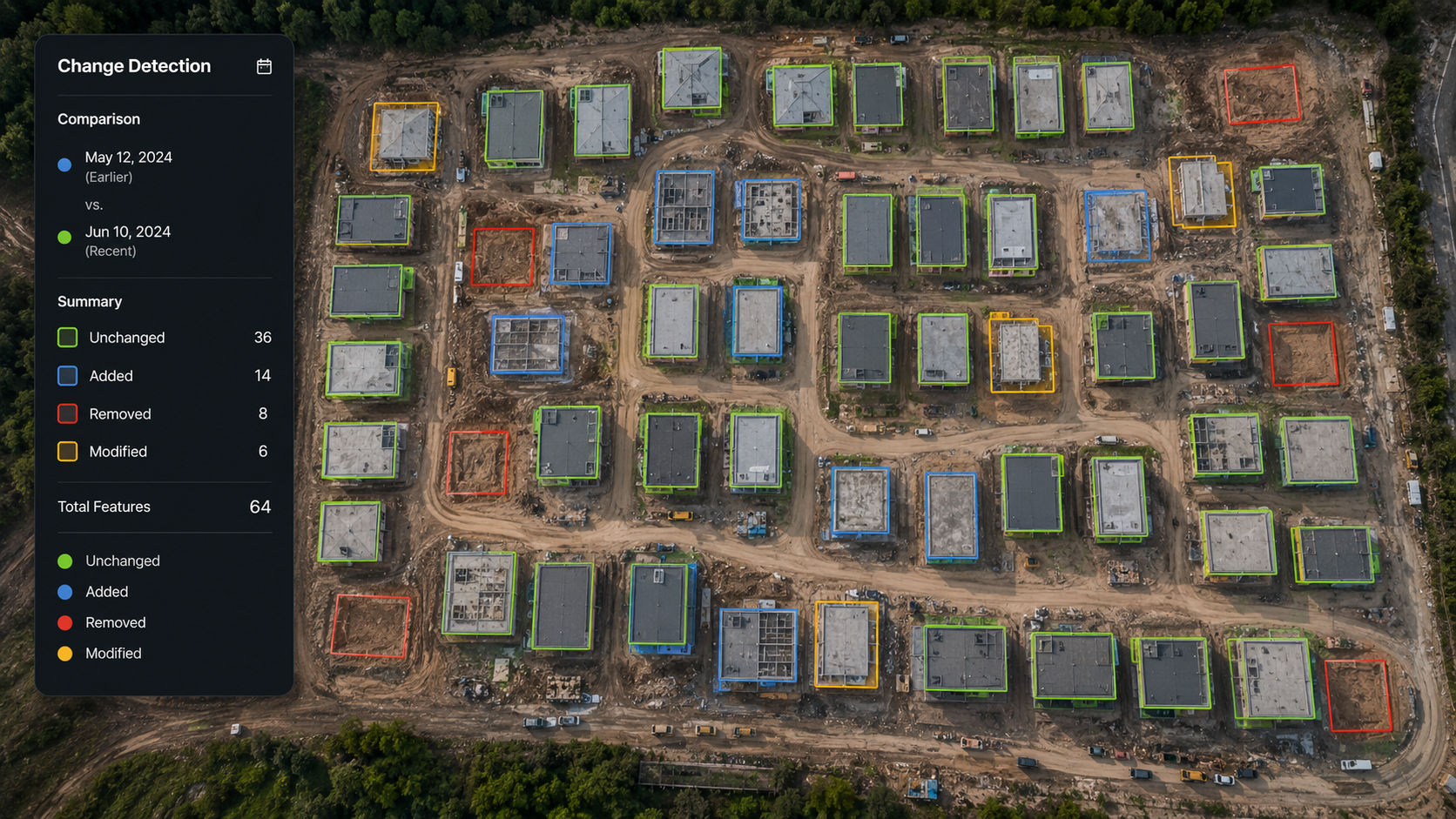
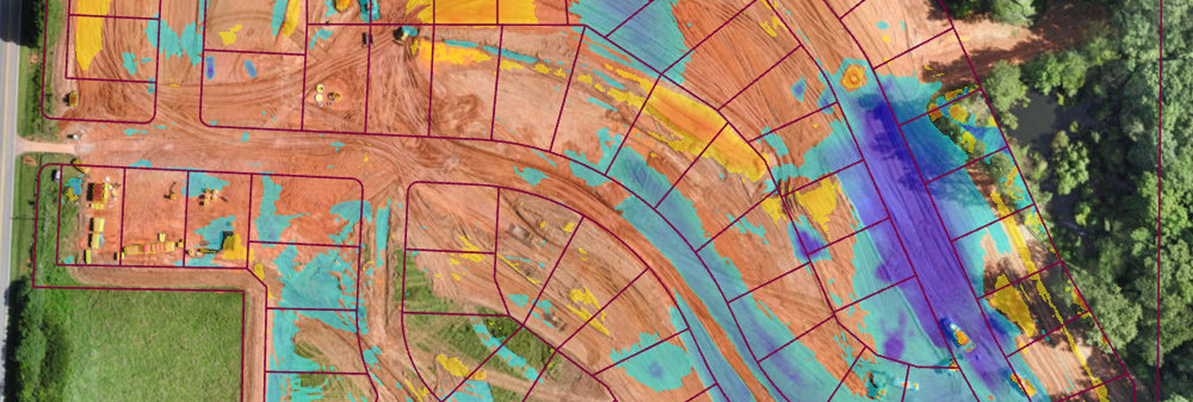
Accurate Site Mapping
High-resolution aerial maps and models that give you a clear, up-to-date view of your site for planning, design, and decision-making.
 What Makes Us Different
Designed to Meet the Operational Realities and Regulatory Requirements of African Industries
Tailored Solutions
We design each deployment to match your industry, objectives, and data requirements with tools and workflows that fit the work.
Proven African Expertise
Everything we do is shaped by years of on-the-ground work across the continent. We understand the logistics, regulation, connectivity, and terrain in Africa.
Ready-to-Use Data
We provide actionable outputs including orthomosaics, NDVI layers, terrain models, and 3D visualisations designed for real-world decision-making.
Scalable Support
Whether you're flying a single mission or rolling out across regions, our tools and team scale with you. No unnecessary overhead or locked-in limits.
Tailored Solutions for Your IndustryOur Offerings
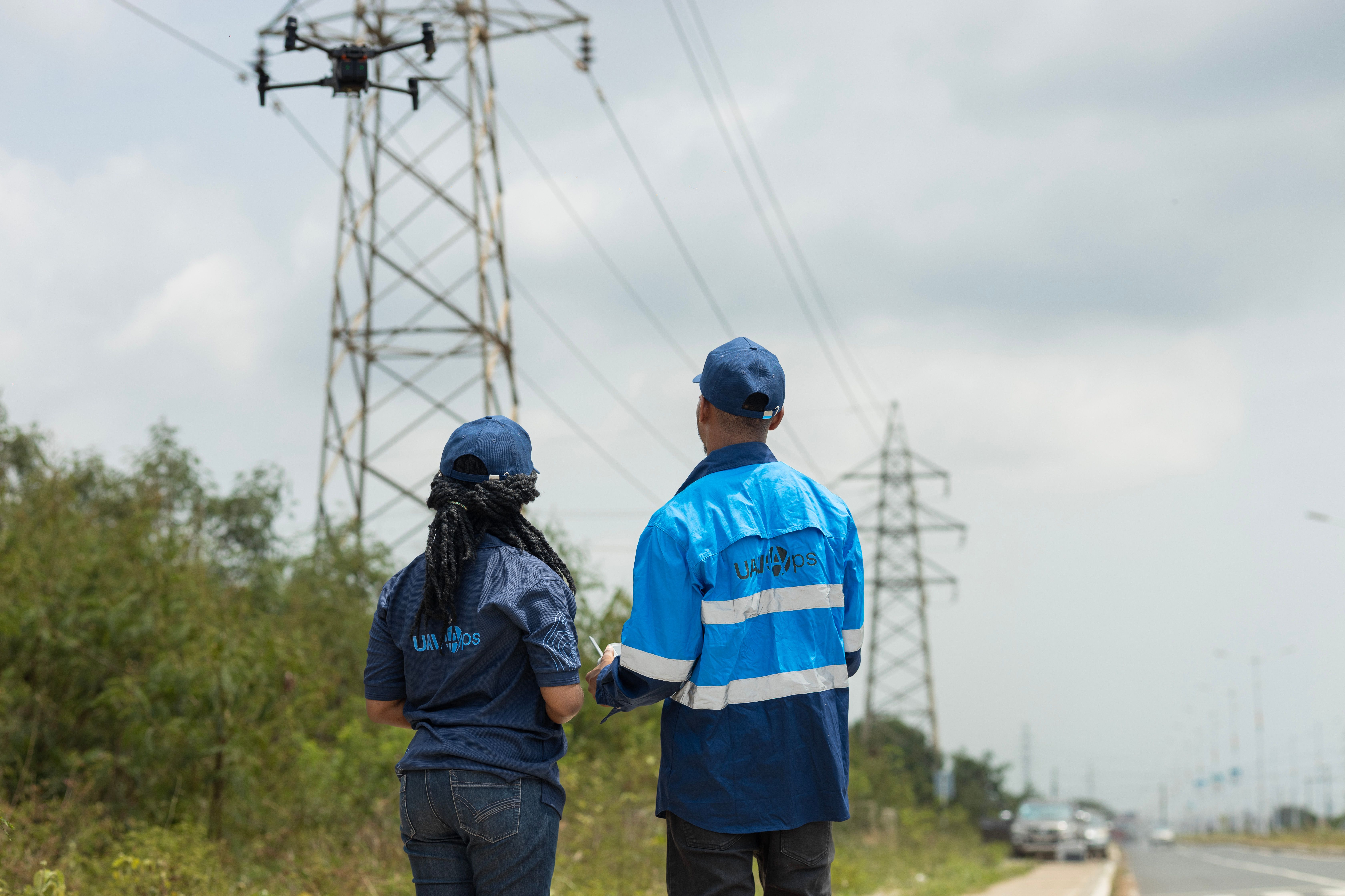
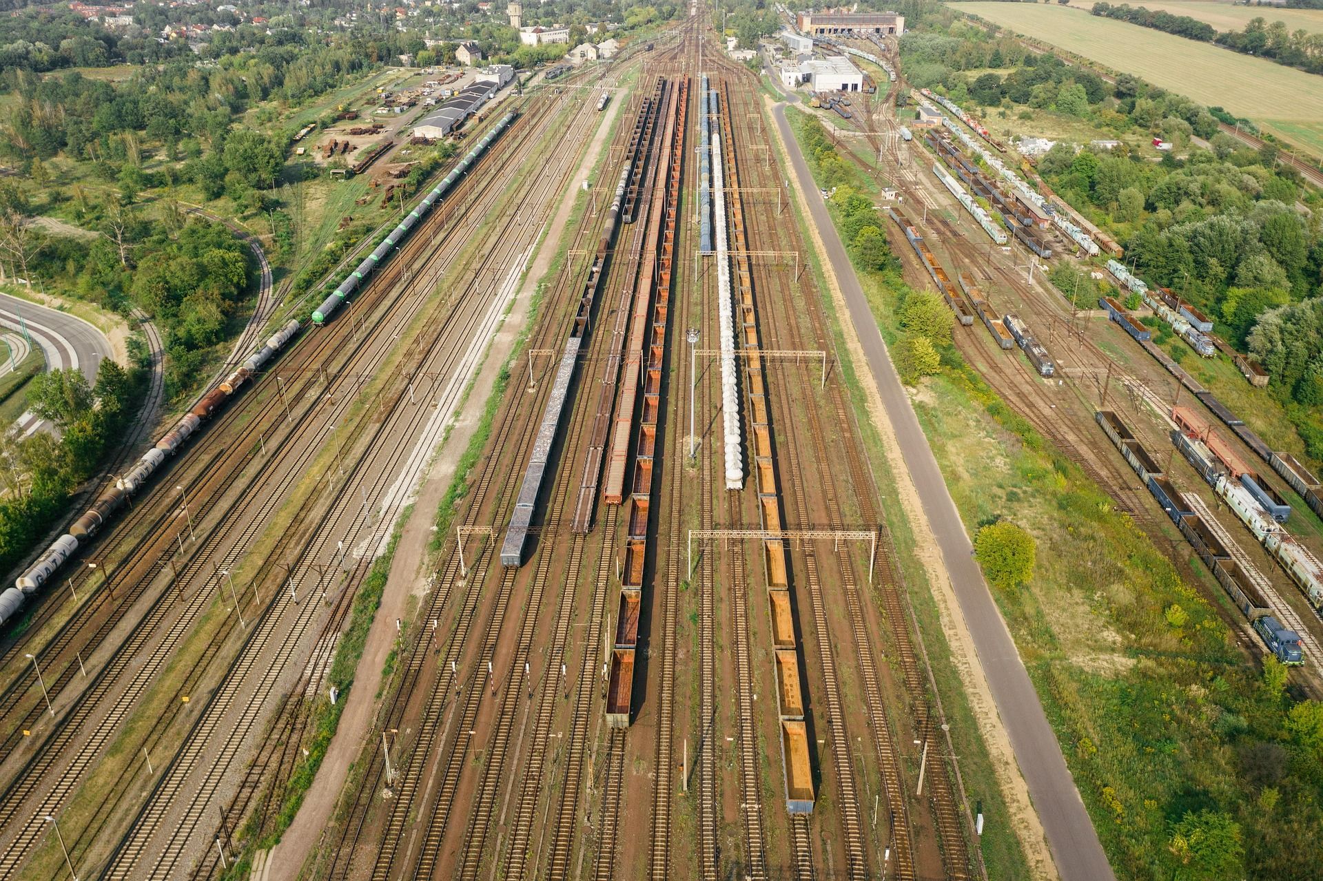
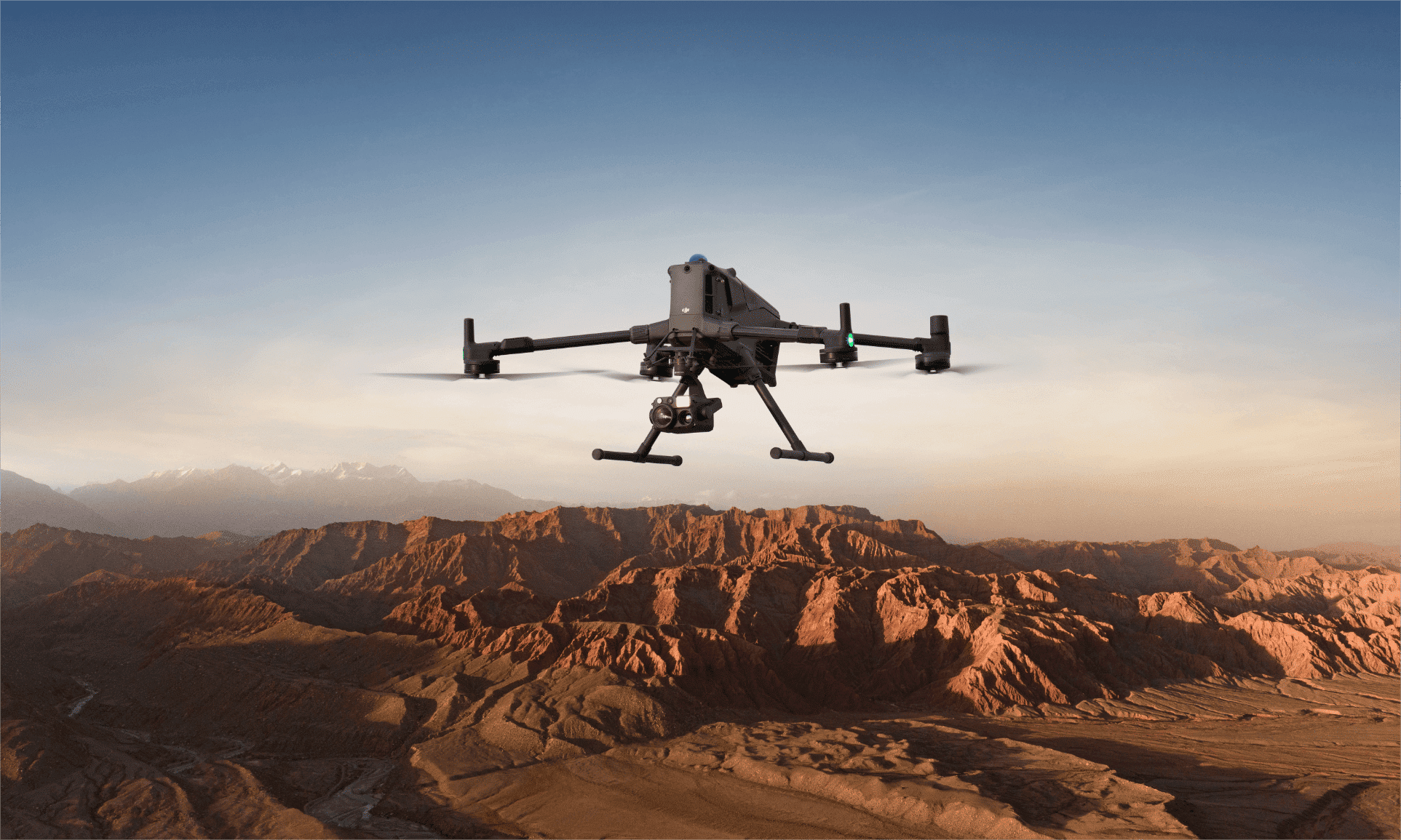
Industry-Specific Solutions
Get insights that actually apply to your operations.
Getting Started Is Simple
We help you get started with your project no matter where you are located in Africa.
1
Service Request
Fill out our service request form online.
2
Consultation and Planning
We work closely with you to define objectives, identify key data points, and tailor a mission to your goals.
3
Data Capture
Licensed UAVOps pilots carry out missions safely and efficiently, capturing high-resolution aerial data using drones equipped with optical, thermal or multispectral sensors.
4
Data Processing & Analysis
We turn raw aerial data into accurate maps, models, and insights into formats that are clear, reliable, and ready for decision-making.
5
Insights & Action
Receive actionable outputs that support planning, monitoring, and operations, so you can make informed decisions quickly and move projects forward with confidence.